
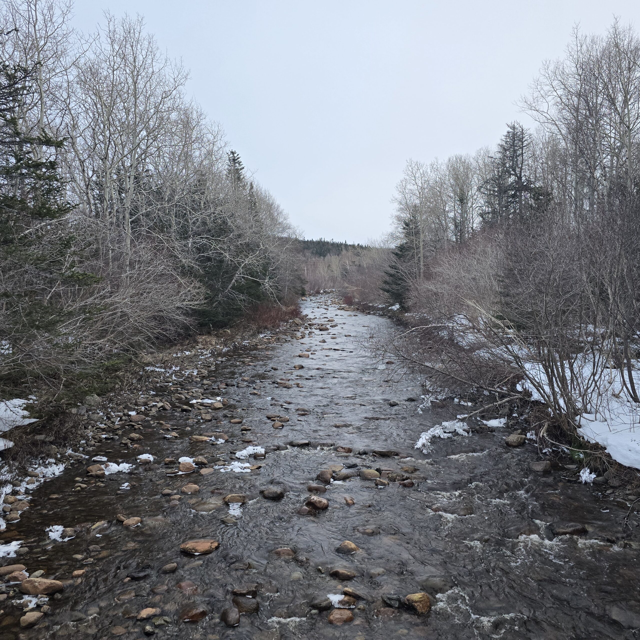
Taken: March 23, 2026
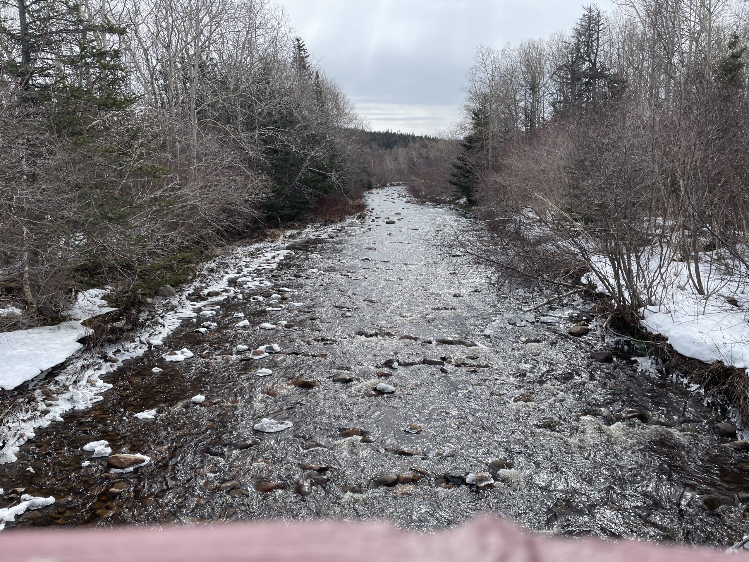
Taken: March 21, 2026
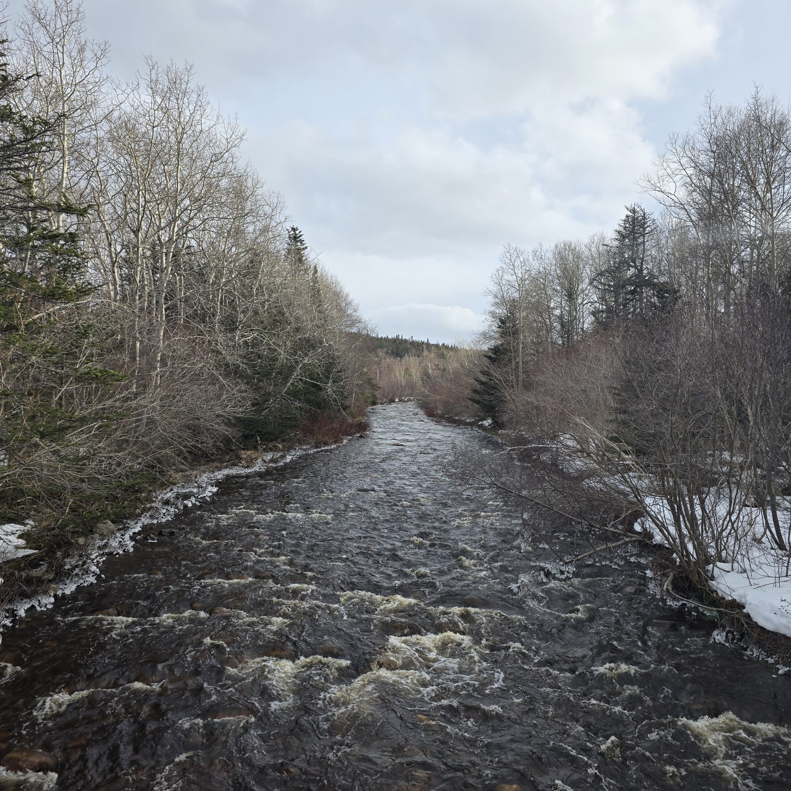
Taken: March 19, 2026
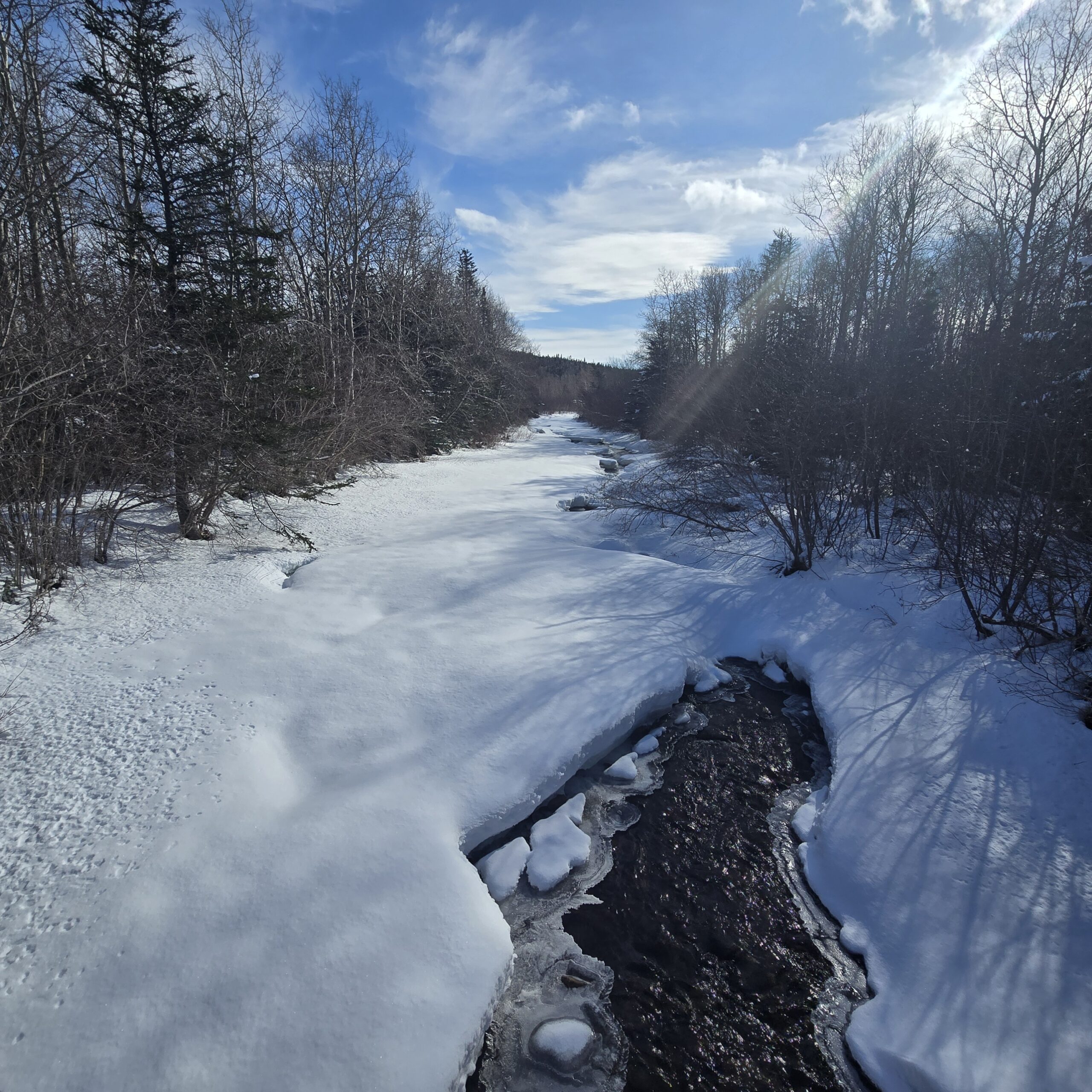
Taken: March 7, 2026
Taken: January 31, 2026
Taken: January 14, 2026


Taken: March 23, 2026
Taken: March 21, 2026
Taken: March 19, 2026
Taken: March 7, 2026
Taken: January 31, 2026
Taken: January 14, 2026